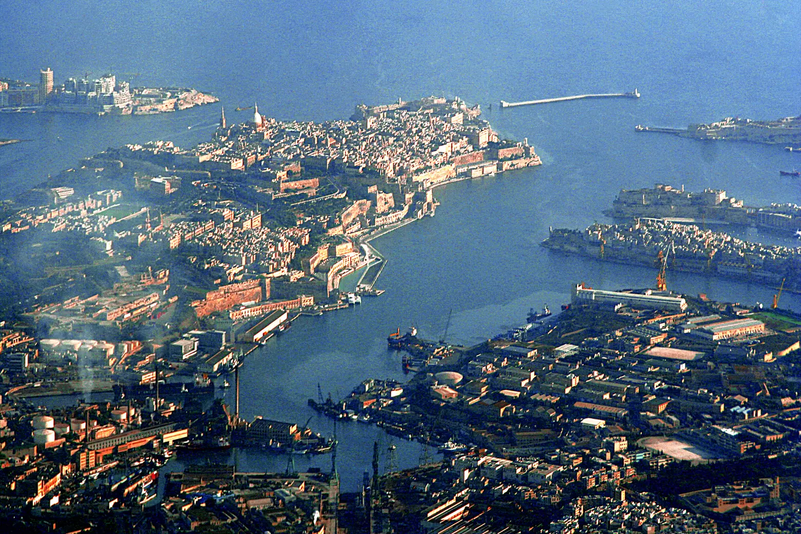
From the Grand Harbour, the walls explain what a street map barely suggests. Valletta occupies a peninsula between two natural harbours. It was founded in 1566, after the Great Siege. Pause by the city’s edge and look across to Birgu, Bormla and Senglea. From that opposite shore, you can see how much of Malta’s history unfolded between a quay, the water and the gate of a fort.
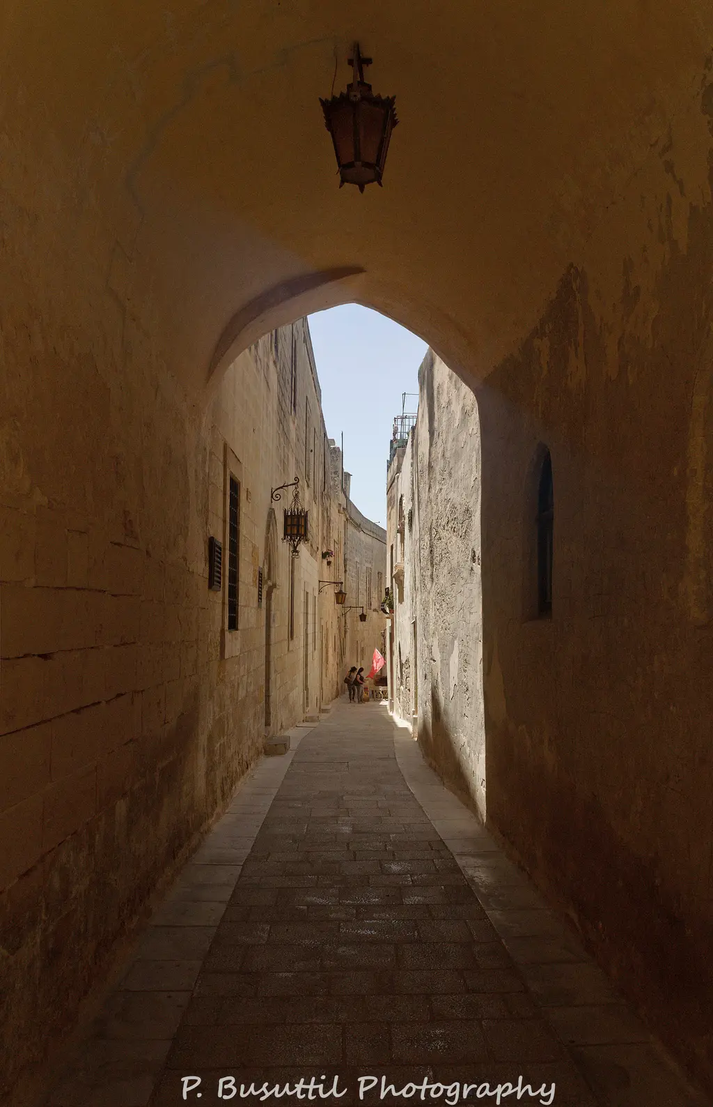
In Mdina, the width of the streets changes what you notice. A painted door, a pot or the curve of a wall takes the place that ships occupied by the harbour. The photograph preserves that scale: there is barely any room between the façades, yet each threshold has a colour of its own. A walk here could begin with one question: what would we miss if we hurried through?
Documentary photograph · Qasinka · CC0 1.0 · Resized and converted to WebP
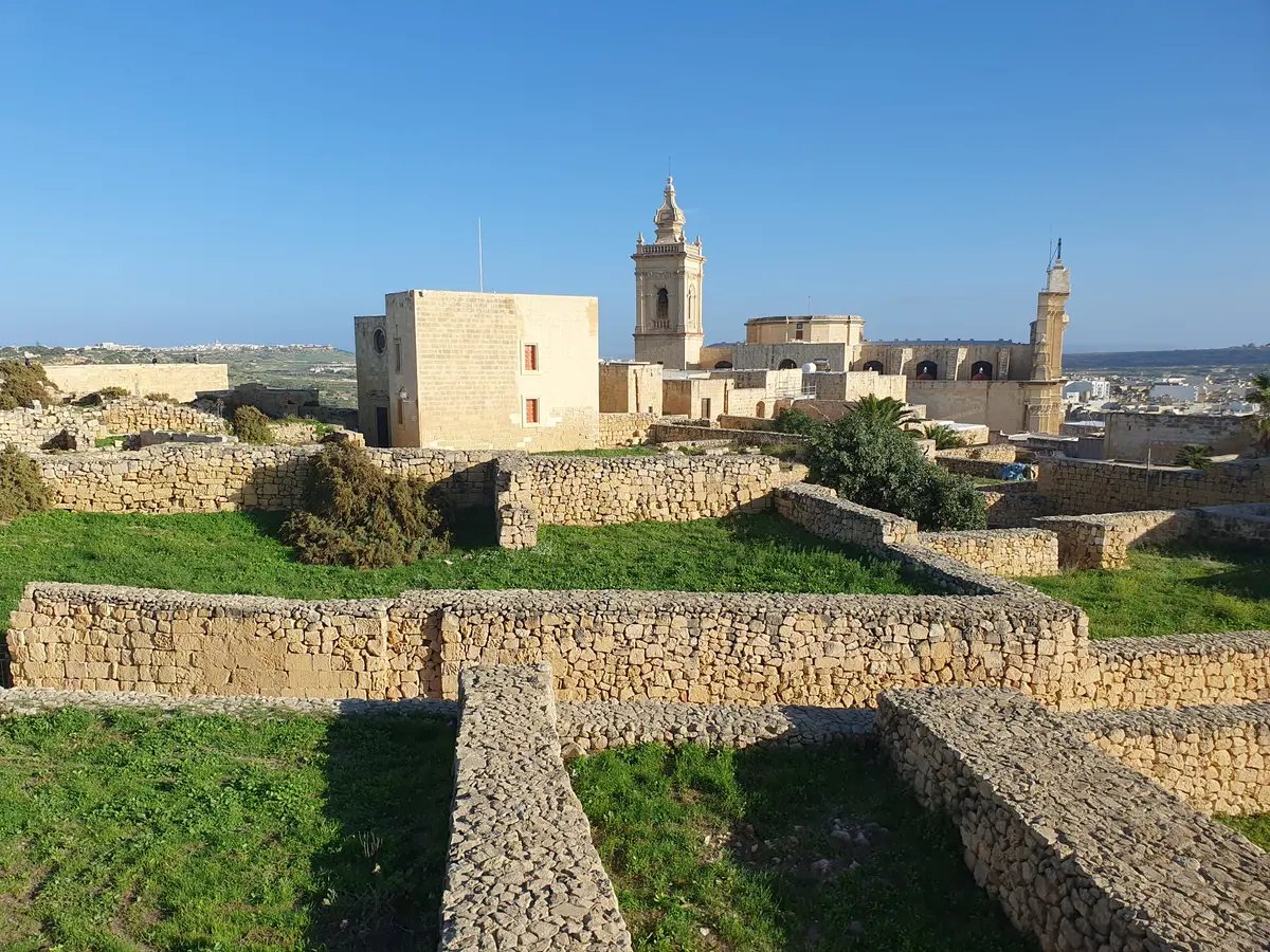
Gozo, seen from the Citadel
The Citadel rises above Victoria, also called Ir-Rabat. Sections on the north side date to the Aragonese period, while the southern defences were rebuilt by the Order of St John. From up here, rooftops give way to fields and villages. It is a good place to get your bearings before heading for the coast, and to see how much a small island can hold.
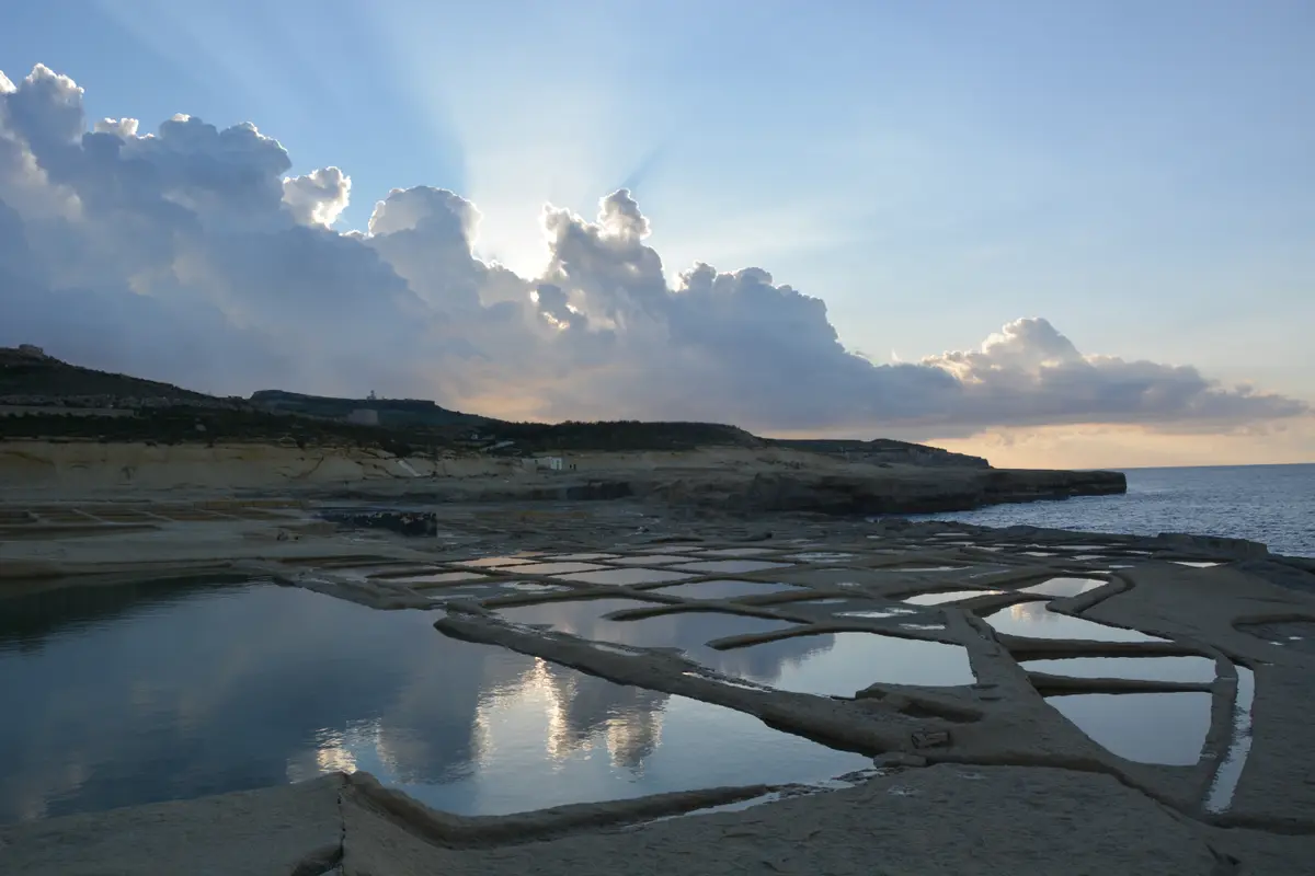
On the coast of Gozo, Xwejni’s salt pans form an uneven grid across the rock. Seawater fills the shallow pools. As the sun evaporates the water, salt crystallises and can be harvested. The view explains the shape of the place. Tim Lewis’s documentary, linked below, lets you hear the people who keep the craft alive.